LiDAR
LiDAR, or Light Detection and Ranging, is a method we have used to create 3D maps of our forest.
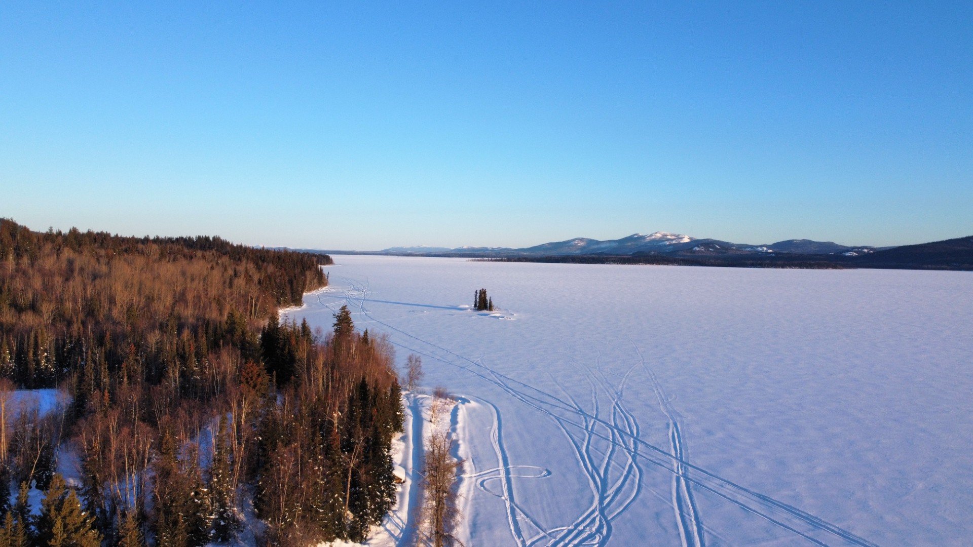
The entire research forest was flown with a fixed-wing plane outfitted with a LiDAR sensor in 2017.
These fine-scale data have been used extensively in numerous research and management projects.
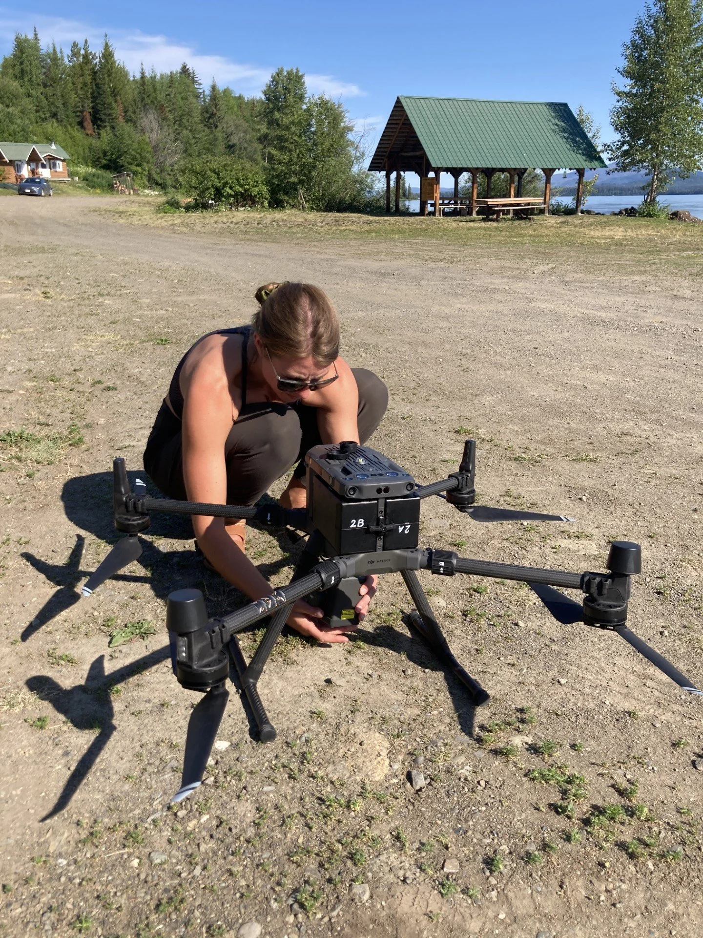
Our LiDAR-equipped drone
In 2022, Tanizul Timber helped us purchase a large drone that can carry a LiDAR sensor. This purchase has allowed us to create extremely fine-scale point cloud data, to better understand wildlife habitat use and forest management.
Point cloud data
This is what the data collected from the LiDAR drone looks like: a series of thousands of points, forming a 3D model of the landscape. Here, you can see one of our recently harvested stands, the road surface, and individual trees.
Funding provided by
-

Tanizul Timber
-
John Prince Research Forest